
MACISTE - PS
MACISTE-PS (Port Section): The WebGIS integrated system for the management of environmental information on port areas. Other than providing multidisciplinary management of environmental data (physical, chemical and biological) and specialised maps, the output (reporting, maps, WMS WFS services, etc.) .) makes it possible to use MACISTE as an AMP management tool. MACISTE-PS.
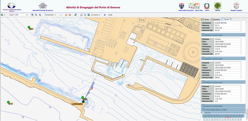
Go to the MACISTE-PS (Porto di Genova) site (Porto di Genova)
Go to the MACISTE-PS (Porto di La Spezia) site (Porto di La Spezia)
